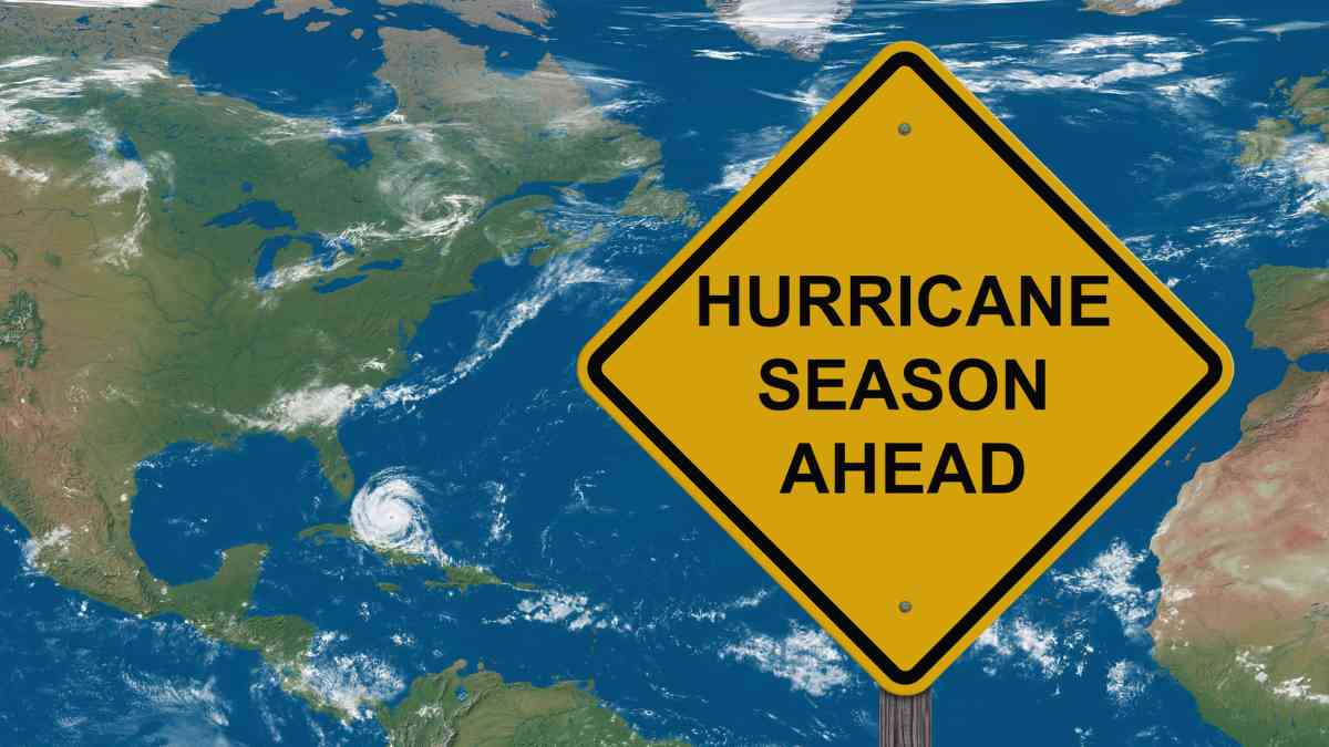
As we approach the statistical peak of the 2024 Atlantic hurricane season, the National Hurricane Center (NHC) is keeping a close watch on three areas of tropical disturbances that could potentially develop into tropical systems.
These disturbances have been identified in the Caribbean, as well as the central and eastern regions of the Atlantic Ocean. The NHC’s primary focus is currently on a disturbance in the Caribbean.
Details regarding the new hurricane-affected areas
Although this system is presently characterized by disorganized showers and thunderstorms, there is potential for it to develop into a tropical depression as it moves towards the western Caribbean and the Gulf of Mexico later this week and into the weekend.
Environmental conditions are expected to become more favorable for development, and there is a medium chance of this disturbance evolving over the next seven days.
- Caribbean Disturbance: Potential to develop into a tropical depression as it moves westward.
- Central Atlantic Disturbance: Monitoring for possible development in the coming days.
- Eastern Atlantic Disturbance: Early stages of monitoring for potential tropical system formation.
Stay informed and prepared as we navigate the peak of the hurricane season. The NHC will continue to provide updates and guidance on these developing systems.
Simultaneously, a tropical disturbance in the eastern Atlantic, near the Cape Verde Islands, is being monitored. This system is currently generating disorganized rain and storms, but the environmental conditions are expected to become more conducive for its development in the coming days.
Potential Development Near the Cape Verde Islands
The National Hurricane Center (NHC) predicts that this disturbance has a medium chance of developing into a tropical depression as it moves west-northwest or northwest. This phenomenon could bring heavy rains and strong winds to parts of the Cape Verde Islands in the upcoming days.
Another System in the Central Atlantic
Lastly, another system has been identified in the central Atlantic, roughly halfway between the west coast of Africa and the Lesser Antilles. Similar to the other system, it is producing disorganized rain and storms.
While slow development is expected over the next few days as it moves west-northwest, environmental conditions could become unfavorable for further development by the end of the week. The NHC gives this system a low chance of development over the next seven days.
According to Fox Weather, forecasts for a zone near the coasts of Texas and Louisiana in the Gulf of Mexico have been dismissed after recording significantly intense rainfall in the region. Attention has now shifted to new disturbances mentioned in recent reports.
Environmental Conditions and Their Impact
Environmental conditions could become favorable for the evolution of these systems, as noted by the NOAA and AP.
Recent Storm Activity
The Weather Channel highlighted that the last named storm in the Atlantic, Hurricane Ernesto, occurred two weeks ago. The next phenomenon to reach tropical storm intensity will be named Francine.
Seasonal Patterns and Predictions
It’s important to note that these patterns are typical for this time of year, with September being the most active month of the Atlantic hurricane season. This vast area of potential tropical system development persists due to the more favorable climatic conditions that prevail during this month.


